
Kuala Lumpur–Putrajaya Expressway

Overview
The Kuala Lumpur–Putrajaya Expressway (KL–Putrajaya Expressway) is a vital highway connecting Malaysia’s capital city, Kuala Lumpur, with the administrative hub of Putrajaya. Completed in the mid-2000s and operated by PLUS Malaysia Berhad, it serves as a key route for commuters, tourists, and logistics transport. The expressway enhances accessibility for commercial traffic and daily commuters alike, playing a critical role in the region’s urban mobility.
Route Overview
The expressway runs primarily in a north–south direction, starting from Kuala Lumpur and ending at Putrajaya. Known as part of the E6 expressway, it passes through important suburban areas, linking residential neighborhoods, commercial zones, and government precincts. Key areas along the route include Cyberjaya, Puchong, and Serdang, making it a preferred route for travelers heading to Malaysia’s tech and administrative hubs.
Key Cities and Exits
Major interchanges along the Kuala Lumpur–Putrajaya Expressway include:
- Taman Connaught Interchange – Access to Cheras and surrounding neighborhoods
- Puchong Interchange – Connects to local townships and commercial centers
- Cyberjaya Interchange – Gateway to Malaysia’s tech hub
- Putrajaya Interchange – Main access to government precincts and landmarks
These interchanges also connect to other major highways, ensuring smooth transitions for both local and long-distance drivers.
Scenic Highlights
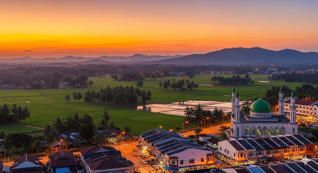
While primarily an urban expressway, drivers can enjoy glimpses of Putrajaya’s landscaped precincts, Cyberjaya’s modern skyline, and stretches of greenery along the route. Travelers approaching Putrajaya may also see views of Putrajaya Lake and the surrounding administrative architecture, adding a scenic touch to the journey.
Rest & Service Areas (R&R)
Key rest areas along the expressway include:
- Serdang R&R – Offers petrol stations, food courts, ATMs, prayer rooms, and toilets
- Puchong R&R – Small rest stop with convenience stores and parking areas
Although R&R stops are limited due to the short length of the expressway, nearby facilities in Puchong and Cyberjaya provide additional amenities for travelers.
Toll Information
The KL–Putrajaya Expressway uses a closed toll system. Payment options include:
- Touch ‘n Go cards
- RFID (SmartTAG) system
Electronic payment is preferred for smooth transit, ensuring minimal delays at toll plazas.
Safety & Facilities
The expressway is equipped with modern safety measures, including:
- Standard speed limits appropriate for expressways
- Multiple lanes for smooth traffic flow
- Emergency breakdown lanes
- PLUSRonda patrol services and emergency hotlines available
Drivers are encouraged to adhere to traffic rules and use designated stopping areas only in emergencies.
Useful Apps & Resources
For live updates and navigation, the following resources are helpful:
- PLUS Mobile App – Toll info, R&R locations, traffic updates
- Waze / Google Maps – Real-time navigation
- Highway Emergency Hotline – For assistance during travel
These tools help ensure a safe and informed journey along the expressway.
Travel Tips
- Peak Hours: Morning and evening may see heavy traffic; plan trips accordingly
- Driving Etiquette: Keep left unless overtaking; use indicators properly
- Long-distance Travel: Ensure toll cards are topped up and fuel levels are sufficient for uninterrupted travel
Connecting Expressways
The Kuala Lumpur–Putrajaya Expressway links to several major highways:
- Damansara–Puchong Expressway (E11) – via Puchong Interchange
- South Klang Valley Expressway (E26) – near Cyberjaya
- Maju Expressway (MEX, E20) – connects to Kuala Lumpur city center
These connections facilitate smooth travel across the Klang Valley region.
Summary Table
| Feature | Details |
|---|---|
| Expressway Name | Kuala Lumpur–Putrajaya Expressway |
| Code | E6 |
| Operator | PLUS Malaysia Berhad |
| Start Point | Kuala Lumpur |
| End Point | Putrajaya |
| States Covered | Federal Territory of Kuala Lumpur, Selangor |
| Toll Type | Closed System |
Conclusion
The Kuala Lumpur–Putrajaya Expressway is a strategic corridor enhancing connectivity between Malaysia’s commercial capital and administrative centre. Despite its relatively short length, it supports commuting, logistics, and tourism, contributing to the Klang Valley’s overall transport efficiency. With well-maintained roads, reliable toll systems, and easy access to connecting expressways, it plays a vital role in improving travel and mobility in the region.
| Road Name | Road Short Name | Code | Main Route |
|---|---|---|---|
| North–South Expressway (PLUS) | North–South Expressway | PLUS / E1, E2 | Bukit Kayu Hitam – Johor Bahru |
| North–South Expressway Central Link | ELITE Expressway | E6 | Shah Alam – Nilai North |
| New Klang Valley Expressway | NKVE | E1 | Kuala Lumpur – Klang |
| Federal Highway | Federal Highway | E5 | Kuala Lumpur – Klang |
| Damansara–Puchong Expressway | LDP | E11 | Damansara – Puchong |
| Shah Alam Expressway | KESAS | E5 | Sri Petaling – Pandamaran |
| New Pantai Expressway | NPE | E10 | Subang – Bangsar |
| Maju Expressway | MEX | E20 | Kuala Lumpur – Putrajaya |
| Kajang Dispersal Link | SILK | E18 | Kajang – Semenyih |
| Kajang–Seremban Highway | LEKAS | E21 | Kajang – Seremban |
| South Klang Valley Expressway | SKVE | E26 | Pulau Indah – Kajang |
| Guthrie Corridor Expressway | GCE | E35 | Shah Alam – Rawang |
| Kuala Lumpur–Karak Expressway | KLK | E8 | Gombak – Karak |
| East Coast Expressway Phase 1 | LPT1 | E8 | Karak – Kuantan |
| East Coast Expressway Phase 2 | LPT2 | E8 | Kuantan – Kuala Nerus |
| Butterworth–Kulim Expressway | BKE | E15 | Butterworth – Kulim |
| Penang Bridge | Penang Bridge | E36 | Gelugor – Perai |
| Sultan Abdul Halim Muadzam Shah Bridge | Second Penang Bridge | E28 | Batu Maung – Batu Kawan |
| Johor Bahru Eastern Dispersal Link | EDL | E14 | Pandan – CIQ Johor |
| Senai–Desaru Expressway | SDE | E22 | Senai – Desaru |
| Second Link Expressway | Linkedua | E3 | Senai – Tuas (Singapore) |
| Kuala Lumpur–Seremban Expressway | KL–Seremban | E37 | Kuala Lumpur – Seremban |
| Cheras–Kajang Expressway | Grand Saga | E7 | Cheras – Kajang |
| Kuala Lumpur–Putrajaya Expressway | MEX | E20 | KL – Putrajaya – KLIA |
| West Coast Expressway | WCE | E32 | Taiping – Banting |
| Central Spine Road | CSR | – | Bentong – Kuala Krai |
| Federal Route 1 | Federal Route 1 | FT1 | Bukit Kayu Hitam – Johor Bahru |
| Federal Route 2 | Federal Route 2 | FT2 | Port Klang – Kuantan |
| Federal Route 3 | Federal Route 3 | FT3 | Johor Bahru – Rantau Panjang |
| Federal Route 4 | Federal Route 4 | FT4 | Gerik – Jeli |
| Federal Route 5 | Federal Route 5 | FT5 | Ipoh – Johor Bahru |
| Federal Route 8 | Federal Route 8 | FT8 | Kuala Lumpur – Kota Bharu |
| Federal Route 9 | Federal Route 9 | FT9 | Karak – Tampin |
| Federal Route 10 | Federal Route 10 | FT10 | Temerloh – Gemas |
| Federal Route 24 | Federal Route 24 | FT24 | Muar – Yong Peng |
| Federal Route 50 | Federal Route 50 | FT50 | Batu Pahat – Kluang – Jemaluang |
| Federal Route 51 | Federal Route 51 | FT51 | Melaka City – Alor Gajah |
| Federal Route 54 | Federal Route 54 | FT54 | Kuala Lumpur – Kuala Selangor |
| Federal Route 76 | Federal Route 76 | FT76 | Kuala Kangsar – Baling – Kulim |
| Federal Route 67 | Federal Route 67 | FT67 | Sungai Petani – Kuala Ketil |
| Pan Borneo Highway (Sabah) | Pan Borneo Sabah | AH150 / PBHS | Kota Kinabalu – Tawau |
| Kimanis–Keningau Highway | Kimanis–Keningau Road | – | Kimanis – Keningau |
| Kota Belud–Ranau Road | Kota Belud–Ranau | – | Coastal – Interior link |
| Pan Borneo Highway (Sarawak) | Pan Borneo Sarawak | AH150 / PBHS | Telok Melano – Miri |
| Kuching–Serian Road | Kuching–Serian | – | Kuching – Serian |
| Bintulu–Miri Coastal Road | Bintulu–Miri Coastal | – | Bintulu – Miri |
| Kota Bharu–Kuala Krai Expressway | KBKK Expressway | KBKK | Kota Bharu – Kuala Krai |
| Pan Borneo Highway (Overall) | Pan Borneo Highway | PBH | Across Sabah & Sarawak |

Comments are closed.